NeoGeoInfo
Projects

Fiber Grid

State of the Art Network Infrastructure

“Fiber Grid is envisioned to establish a state of the art network infrastructure to facilitate the realization of ‘Digital State’”.

CORS and GNSS Positioning Services

CONTINUOUSLY OPERATING REFERENCE STATIONS & Global Navigation Satellite System

Continuously Operating Reference Stations (CORS) technology is rapidly becoming the preferred method for accurate 3D positioning across the world and forms the basis for any smart city agenda.

Mission Bhagiratha

Government of Telangana

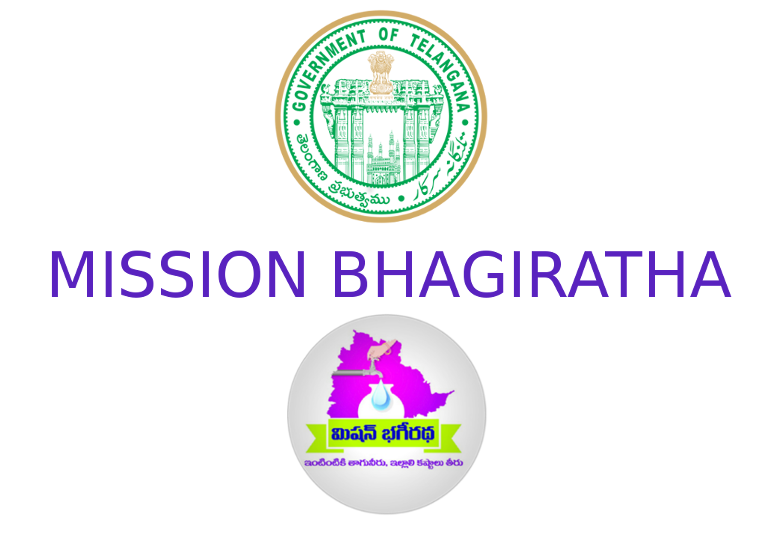
Mission Bhagiratha project is aimed at building a GIS-based web application to provide analytics and survey capabilities for the Mission Bhagiratha department, Telangana. As part of the application, the department wants to survey, monitor, and manage the water supply chain for the entire Telangana state.

ptmsss

Property TAX Management System

Government of Uttar Pradesh

GIS Base Map, Survey of Properties (Ward Wise & Category Wise), Numbering of Properties Through Assigning Unique Identification Number to Each Property & Developing Property Information System for PRAYAGRAJ, GHAZIABAD AND LUCKNOW MUNICIPAL CORPORATION.

Punjab Municipal Infrastructure Development Company

Government of Punjab

Formulation of GIS-based Master Plan for Barnala City (2041) under AMRUT(Atal Mission for Rejuvenation and Urban Transformation).

nmc-1

Nashik Municipal Corporation

Government of Maharashtra

Survey of Properties for Assessment of Property Tax and All Related Activities for Nashik Municipal Corporation.

2017-11-06-1

Directorate of Urban Administration & Development- Bhopal

Government of Madhya Pradesh

Preparation of Property Tax Register based on GIS and Revenue Survey with Technical Handholding Support – Cluster HH22

Making Hyderabad a Safe and Resilient City

Government of Telangana

Under the Safe and Smart Cities Initiative, Hyderabad CCTV Surveillance and Integrated Traffic Management System (HCSITMS) is a prestigious project by the Department of Traffic Police – Hyderabad, Cyberabad and Greater Hyderabad Municipal Corporation.

NIC-recruitments

National Informatics Centre

Government of India – Ministry of Communications & Information Technology

Procurement/Processing of satellite data for up-scaling of multi-layer GIS Framework-req and Technical Support Services for creation of spatial Database.

IMG_20190522_135337

State Institute for Town Planning-Bhopal

Government of Madhya Pradesh

Digitization, Geo- referencing & Superimposition of planning permissions in digital land use map of planning area for Bhopal ,Indore and Gwalior Development Plan

uppwd-bulging

Uttar Pradesh Public work department (UPPWD)

Government of Uttar Pradesh

“Populating GIS Based Digital Map including cost of Digital Maps and Road side features Extractions, Road attributes attachment for eighteen districts in the state of Uttar Pradesh AND Development of Road & Bridge information system (RIS) application based on GIS

2020-04-04

Board of Revenue for Rajasthan

Government of Rajasthan

Digitization of Cadastral Maps / Revenue Maps And Integration with Revenue Records across the State of Rajasthan.

smeclogo

SMEC

Government of Jammu and Kashmir

DEM Creation of High-Resolution Satellite imagery and Related Activities for the Feasibility Study and Preparation of Preliminary Project Report (PPR) for the Construction of Road Tunnel Enabling All Whether Connectivity along with Mughal Road in the State of Jammu & Kashmir, India.

Rail Vikas Nigam Limited

Indian Railways

DEM creation from Stereo satellite Imagery and finalization of alignment and transfer of the alignment to the ground. DEM editing, Image Draping on DEM and Creation of base map for analysis

Greater-Noida-Authority-Scheme-2020

Greater Noida Industrial Development Authority

Government of Uttar Pradesh

GIS Based Mapping at a scale of 1:1000 for entire GNIDA area including water, drainage and application Development.

2019-12-06-1

Yamuna Expressway Industrial Development Authority

Government of Uttar Pradesh

GIS based quarterly change detection & Geo-referencing of Cadastral Map of all Yamuna Expressway Industrial Development Authority.

Kanpur Municipal Corporation

Government of Uttar Pradesh

GIS-based Mapping of complete Kanpur city for property tax application and development of a web-based application.

Sterlite Technologies Limited

Defence’s NFS OFC Project

ABD and DGPS(Differential Global Positioning System) activity for the NFS project in J&K.