
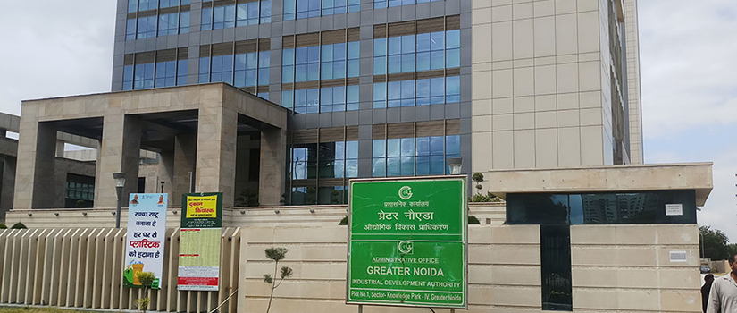
Greater Noida Industrial
Development Authority
Government of Uttar Pradesh
NeoGeoInfo has done this project for Greater NOIDA Industrial Development Authority project entitled “Development and Deployment of GIS Based Spatial Decision Support System for Greater NOIDA Industrial Development Authority”.
Type of service
Development and Deployment of GIS Based Spatial Decision Support System for Greater NOIDA Industrial Development Authority.
Scope of Work
- Generation of existing Land use Maps from High Resolution Satellite Image up to building footprint.
- Cadastral mapping of 124 Villages falling under GNIDA Phase 1 with capturing of the Right of Records.
- Acquiring ROR data (collected from DM Office) from Bhulekh and Integration of the Land Acquisition and Compensation module
- Geo-referencing and Digitisation of Master plan and Sector Plans Layouts.
- Field survey for Property Verification and detailed landuse, collecting data for residential, commercial, industrial, green space and vacant land.
- Digitization of utility assets of each circle of road network, water supply network, sewage network, electricity lines, poles, substations, transformers, storm water drainage network.
- A web based geospatial application is developed to bring different levels of information, data images in one platform. The Land Acquisition Application is being integrated with geospatial application through User Login and Front end Interface to enter the application.
- The application has a Building plan approval tool, a Query Builder where all queries are represented as thematic maps and reports. The web page has information at a glance about the urban assets and the development (acquired and developed).
- The GIS System is also being integrated with Oracle based Property Management Application, Grievance Management System, Citizens Charter, Integration with Office.
- Automation Project, Integration with field Data and GPS, Integration with the existing CAD Data.
- APDA based application has been created whereby the officials of GNDA have the complete data of building approval. The aim is to verify the data in the field whether the development is as per the plan.
- The geospatial data is integrated with Google maps for wider visualization. The query generated can also be visualized over Google maps.
Challenges
Greater NOIDA Industrial Development Authority was slowly becoming a self-sufficient industrial township out of a small town that lacked the very basic infrastructure and logistical support systems. However, to do so, the authority had to do proper planning of land use and infrastructure. It must know every detail of the resources and property it had, known what lies where, and all the dynamics of the land use. The process of development is complex. For this, land had to be acquired for which a complete set of Right of Records, regarding the ownership of the land is required. To capture the dynamics of the rapidly evolving National Capital Region, the GNIDA needs to do scientific assessment of the land instead of following the manual process of capturing layers of information which was tedious and cumbersome.
Objective
GNIDA had set up a goal of achieving a balanced development of the area by preparation of perspective plans, strengthening of infrastructure facilities and promotion of Growth Centers. GNIDA intends to develop Greater NOIDA as a world Class city where the grass is greener, the roads wider, the air cleaner and where proactive and responsive governance is the norm. GNIDA is managing all kinds of development related to Industrial, Institutional, Residential and Commercial sectors in Greater NOIDA. To develop and manage such a large infrastructure, GNIDA needed a logistic support system with the following Key objectives:
Key Objective of the Project
- Development of common platform for information sharing between all stakeholdersof GNIDA.
- Development of Logistic Support System for better planning of Landuse, Infrastructure development and further assets maintenance.
- Development of Logistic Support System that is able to provide the Decision Support. Report in Land acquisition and compensation assessment Tools.
- Development of Site Planning tools, Building Plan Approval Tools.
- Integration with Legacy Systems Development Assessment Tools.
Benefits To The Client
- The geospatial application developed by Geoinfosys, for Greater NOIDA Development Authority helps them to find about every detail required for Planning and Development of the world class city as layered information. The history of the Development can be construed through this System.
- It helps the Authority to analyse of trend of development.
- The system helps the Authority in better planning and management of resources, as they are able to judge the details of the infrastructure and deduce what facilities need to be upgraded and where new facilities have to be created. It helps them to analyse the available green space, and take measures to preserve them.
- The authority is also benefitted in their day to day activity like land acquisition and building plan approval.
- The system being dynamic, new satellite image can be imported and the changes in land use can be detected, updated and edited from time to time.
Replication
The same application may be replicated for GIS-based Decision Support System or Management Information System, town planning, mapping of natural vegetation/forest, etc.