
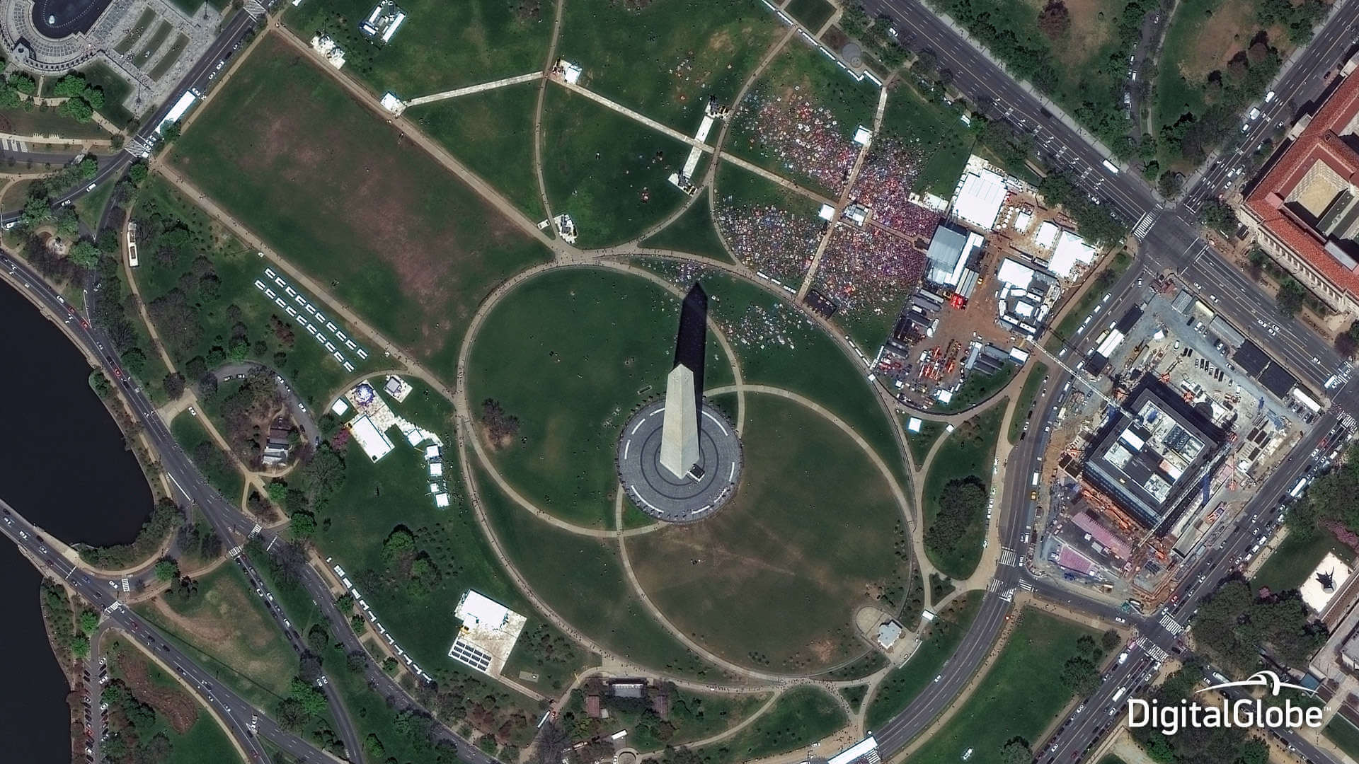
Satellite Imagery
Maxar Satellite Imagery:
NeoGeoInfo Technologies is the master reseller of Maxar Intelligence Inc.’ Products and Services in India.
Maxar (formerly Digital Globe) constellation of high-resolution satellites (Worldview Legion, Worldview 1/2/3 and 4, IKONOS, QuickBird) offers incredible accuracy, agility and collection capacity, imaging more of the world in the finest level of detail. This constellation is unprecedented in the industry, enabling customers around the globe to get the highest quality view of their world.
Maxar satellite and aerial images cover significant areas of the world. With the rapid collection capabilities of the constellation the widest geographic areas can be captured quickly and easily. Sophisticated algorithms and deep learning allows us to deliver ready made products (including DTMS) so that you can quickly integrate them into your GIS to enhance the solution effectiveness.
HRSI (High Resolution) Satellite Imagery Procurement and Processing:
NeoGeoInfo Technologies procures and delivers efficient high and medium resolution imagery through its strategic alliance partner in the most compliant manner.
GIS and Mapping Services using HRSI
At NeoGeoInfo we have established state-of-the-art GIS, Remote Sensing, Ground Survey and Digital Mapping capabilities through adoption of latest digital cartographic techniques and Deep Learning/ AI.
NeoGeoInfo provides a full range of Digital Photogrammetry services, which include, Aerial Triangulation (AT), DTM/ DEM, 3D Plannimetry, Ortho-photos etc.
Our experience in maintaining quality control throughout the process, assures the delivery of high accuracy data output and keeps the data costs low.
Our proficiency in Spatial Data Acquisition, Processing of Satellite Images/ Aerial Photographs help our customer base across multiple domains –
- Parcel and Property Mapping for Urban Information System:
- Utilities Network Mapping:
- Electrical and Telecommunication Network
- Oil and Gas Pipeline Network
- Water and Sewer Network
- ILIS (Integrated Land Information System) for Cadastral and Revenue Mapping:
- 3D Modeling
Image Processing Services:
NeoGeoInfo has extensive experience in remote sensing, image interpretation, and image classification through projects ranging from a few hundred to millions of acres. NeoGeoInfo specializes in land use and cover classification using satellite imagery.
Classification:
NeoGeoInfo has performed projects requiring the Manual Interpretation and Extraction of GIS features from Digital Photographic Images as well as High-Resolution Satellite Images. NeoGeoInfo Image Classification Projects have resulted in the creation of complex GIS Layers with Associated Database Tables consisting of Detailed Quantitative Descriptions of Classified Features.
Using High Resolution Satellite Imagery, we at NeoGeoInfo are capable of mapping anywhere in the world. We utilize High Resolution Satellite Imagery for Land Cover Mapping, Change Detection Analysis, Forest Land Inventory, Topographic Modeling, and as a Baseline Data for Future Evaluation We at NeoGeoInfo use Image Classification Techniques to Produce Vegetation and Land Cover Maps.
NeoGeoInfo has extensive experience in Satellite Image Interpretation and Processing, having worked with most of the commercially available Satellite Data Products
Image Interpretation:
NeoGeoInfo has extensive experience in Developing High Quality GIS Data from Digital Imagery. Whether collected from Aircraft or Satellites, Digital Images can be used as a very cost-effective source material for developing an accurate and complete land base for your GIS. NeoGeoInfo has experience in using Aerial and Satellite Imagery from a wide variety of sources. We have compiled Geospatial Data for both Small and Large.
We at NeoGeoInfo have the ability to handle Large Volumes of Images, Automate most of the Data Management Processes, and Pass on the Productivity Gains to the Client in terms of fast turn-around-time and Competitively Priced Solutions.
Aerial Triangulation:
NeoGeoInfo delivers High Precision Aerial Triangulation Services delivering perfectly carved GIS related Aerial Photo Interpretation. We interpret Aerial Photographs for all your Aerial Triangulation/ Photogrammetry Requirements. We deliver AT results in various industry standard formats. NeoGeoInfo AT services include
- Block Triangulation and Analysis
- Automatic and Manual Aerial Triangulation
- Aerial Triangulation of Digital Images
- Exporting Aerial Triangulation Results
Planimetric/Vector Feature Extraction:
NeoGeoInfo has State of the Art Photogrammetric Mapping Facilities. Before to Start a Vector Compilation Project, an Accurate Estimation is done regarding the Time, Man Power and Project Duration. To Analyze the Project Requirements and Expectations of the Client, we review the Project based on Standards and Specifications that are documented in compliance with an ISO 9001:2000 Certified Process, to ensure a smooth production flow.
As per the Project Specifications and Client Requirements, various kinds of features (Buildings, Roads, Man Holes, Drains, Light poles, Streams, Fences, and Parking etc.) are captured on Digital Photogrammetric Workstations using Scanned/ Digital Images.
- Capturing planimetric and DTM features for stereo plotting scales ranging from 1:1000 to 1:5000
- Digitizing Manual Contours for any scales
Digitizing Manual Contours for any Scale:
Our Orthophoto Production services include Ortho-Mosaicking, Color Balancing, Seam Line Editing and Tile Cutting. We undertake Orthorectification with constant Elevation Sources in Various Formats.
We at NeoGeoInfo generate a Digital Orthophoto that most closely achieves the Resolution of the Continuous Tone, Original Aerial Image; we apply a variety of Image Enhancement and Edge Sharpening Routines using Special Image Processing Techniques.
The Process involves Color/ Contrast Matching and Feathering Techniques to ensure a Virtually Seamless Mosaic. Many images can be Mosaicked and Resampled to produce an Overview Image File to Supplement the Original Orthoimages. Accuracy is measured by comparing the Rectified Position of Ground Control Point to the True Coordinates of the Point.
At NeoGeoInfo we create Orthophoto with pixel size of 10cm, 20cm & 40cm.
Digital Elevation Model / DTM Model:
We create fully Detailed Digital Terrain Models (DTMs) for Contour Generation, Orthophoto Production Rectification and Digital Elevation Models (DEMs) for Specialized Applications such as 3D Modeling and Volumetric Calculations. Our in-house developed DL/ ML modules ensure faster turnaround and cost effective ways to deliver the customer required products.
Using Photogrammetric Software, a dense Point Cloud of Heights is generated in Multi Images through Automated Elevation Collection (Correlation). The results will be verified Manually by using Powerful Editing Tools. As a final step the DTM is generated.
- Select your Area of Interest (AOI) with the
- Search Term,
- Bounding Box, or
- Marker tool
- Specify your dates, for the time period your interested in,
- Specify the minimum resolution level you require,
- Click the Search button.