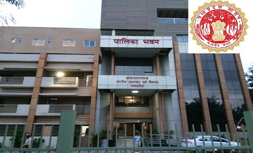
Directorate of Urban Administration & Development- Bhopal
Government of Madhya Pradesh
NeoGeoInfo has done this project for Preparation of Property Tax Register based on GIS and Revenue Survey with Technical Handholding Support – Cluster HH22.
The project involves creation of a Spatial Database for Properties using HRSI, Georeferenced using over 200 GCPS evenly spread across the Area of Interest (22 ULBS) and doing a Field Survey of Properties in association with Municipal Staff for: Creation of Land base, Plot Area, Carpet Area based on Construction along with Usage type.

Apart from Geo-coding Properties and assigning the attribute data collected the project involved integration of Municipal Data available with UADD
NeoGeo had developed
- a Desktop Application for Property Database Repository Management and Tax Assessment with the ability of tax rates updation and
- an Interactive Web based-GIS Solution for online property tax calculation and payment conforming to the typical stages of Software Development Life Cycle (SDLC) from Requirement Gathering/ Analysis, System Design, Application Development/ Coding, Testing Cycles, User Acceptance, Deployment and offering Technical Support (for 3 years).
Use of GIS for Property Tax Management and Demand Generation had transformed the whole process – not only streamlining the tax regime (across multiple ownership, utilization and locations) but also reduced the citizen complaints against the complex tax structure.
Due to the transparent system, appropriate categorization of property use and accurate surveyed data used for tax demand generation – had improved the tax collection and reduced the revenue leakage.
