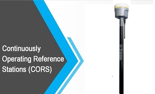
CONTINUOUSLY OPERATING REFERENCE STATIONS & Global Navigation Satellite System
NeoGeoInfo has done this project for Continuously Operating Reference Stations (CORS) technology is rapidly becoming the preferred method for accurate 3D positioning across the world and forms the basis for any smart city agenda.
India is in the process of establishing Geodetic Infrastructure in the entire country. The government has taken up the project of establishing Continuously Operating Reference Stations (CORS) network of reference stations that provide a virtual refence station (VRS) that allows users to access long-range high-accuracy Network RTK corrections. We, in association with Trimble are establishing CORS stations in the first 2 states of this prestigious project. .
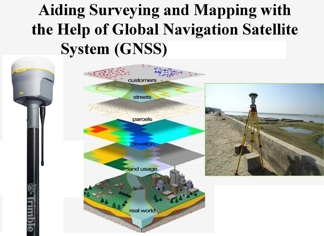
This network of Continuously Operating Reference Stations (CORS) would provide Global Navigation Satellite System (GNSS) data consisting of carrier phase and code range measurements in support of three-dimensional positioning, meteorology, space weather, and geophysical applications.
Surveyors, GIS users, engineers, scientists, and the public at large that collect GPS data can use CORS data to improve the precision of their positions. CORS enhanced post-processed coordinates approach a few centimetres relative to the National Spatial Reference System, both horizontally and vertically.
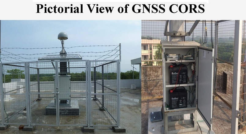
NeoGeo understands the complex technologies involved in setting up highly secure data control centre including servers, communication, Networks, switches and modems, firewall etc. and very high precision infrastructure including GNSS, Communication Networks, and Data transfer infrastructure.