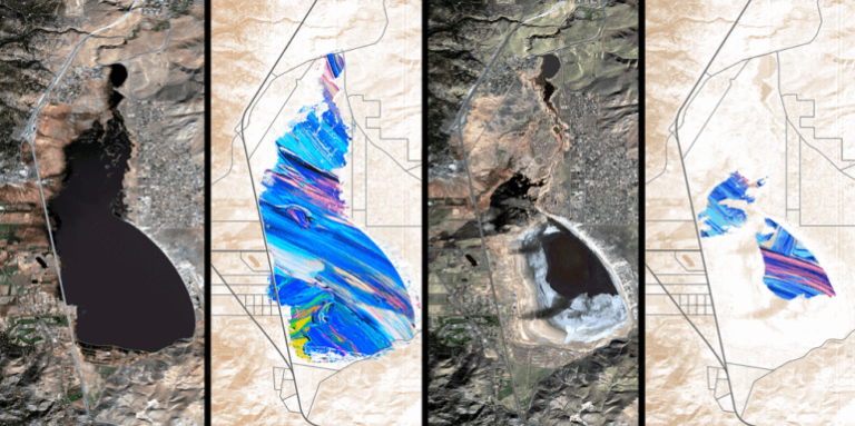
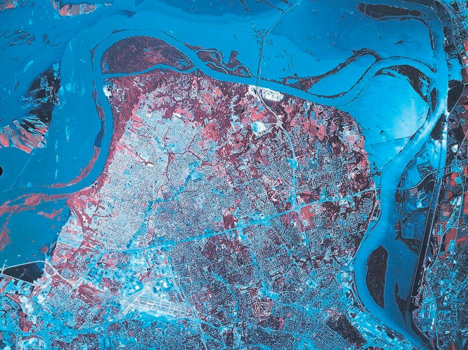
HRSI (High Resolution) Satellite Imagery Procurement and Processing:
NeoGeoInfo Technologies procures and delivers efficient high and medium resolution imagery through its strategic alliance partner in the most compliant manner.
GIS and Mapping Services using HRSI
At NeoGeoInfo we have established state-of-the-art GIS, Remote Sensing, Ground Survey and Digital Mapping capabilities through adoption of latest digital cartographic techniques and Deep Learning/ AI.
NeoGeoInfo provides a full range of Digital Photogrammetry services, which include, Aerial Triangulation (AT), DTM/ DEM, 3D Plannimetry, Ortho-photos etc.
Our experience in maintaining quality control throughout the process, assures the delivery of high accuracy data output and keeps the data costs low.
Our proficiency in Spatial Data Acquisition, Processing of Satellite Images/ Aerial Photographs help our customer base across multiple domains –
Parcel and Property Mapping for Urban Information System:
Utilities Network Mapping:
Electrical and Telecommunication Network
Oil and Gas Pipeline Network
Water and Sewer Network
ILIS (Integrated Land Information System) for Cadastral and Revenue Mapping: